Shoreditch firm launches latest 'simulated reality' product
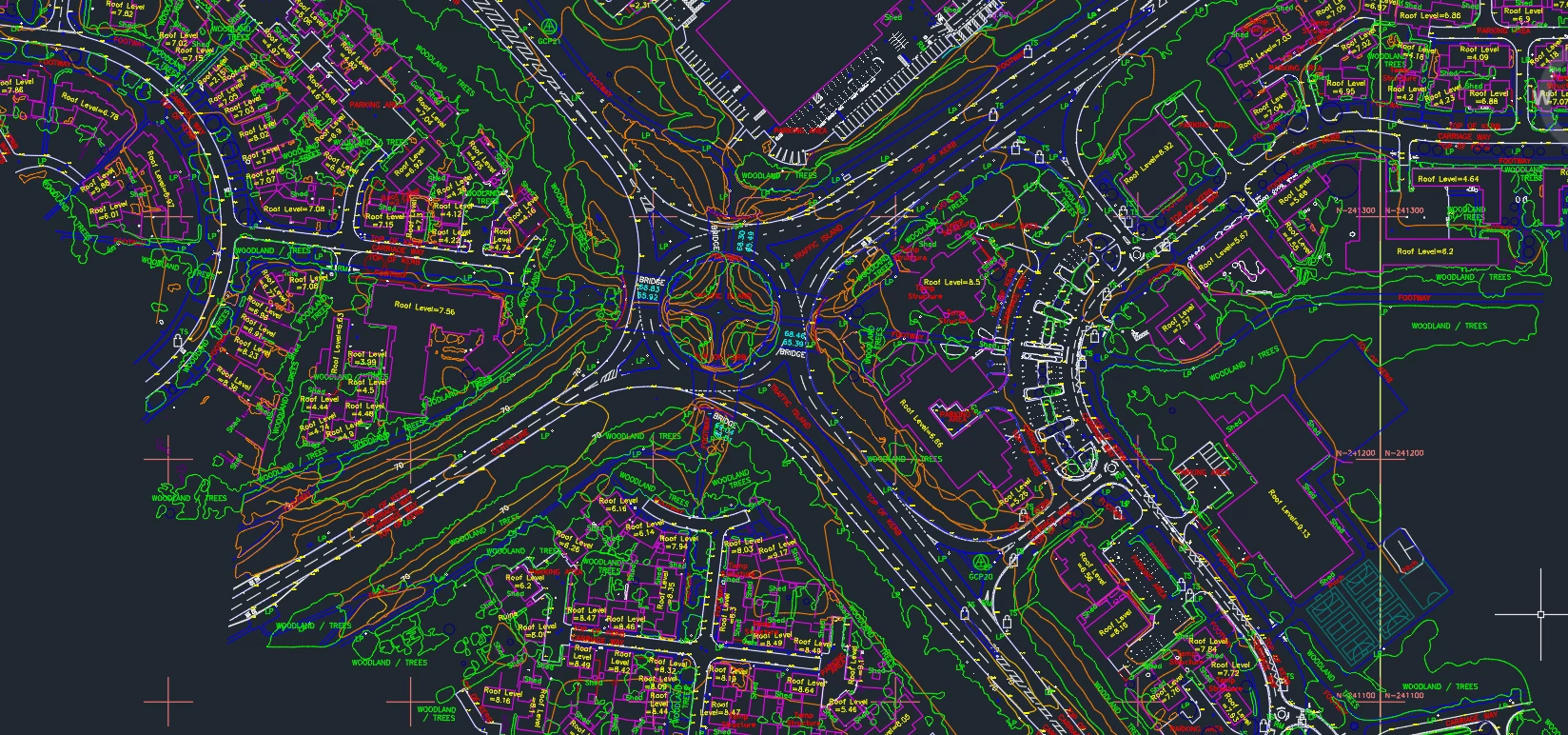
SenSat, a Shoreditch-based European AI company building simulated realities to teach computers to understand the ‘real world’, has launched its latest product, SenCAD.
This new product is ‘revolutionising’ topographical land surveying by bringing unparalleled speed, accuracy, cost-efficiency, and safety to the process of producing topographical CAD survey data, all at unprecedented scale.
This is achieved using SenSat’s proprietary data capture and processing expertise, which utilises a mix of technologies such as Unmanned Aerial Vehicles (UAVs) during the capture phase.
James Dean, CEO of SenSat, said: “We’re incredibly proud to launch SenCAD out of its initial closed beta, where it’s proved to be a resounding success.
“SenCAD delivers an orders of magnitude improvement in achievable scale, cost saving, time efficiency, and safety over traditional techniques.
“It therefore represents a step change in providing universal and useable data in the construction and civil infrastructure space - allowing for better decisions to be made more quickly.”
SenSat uses visual and spatial data to create digital replicas of the real world that are used in large scale construction projects during their planning, design and engineering phases.
James added: “As a vital component, not only is SenCAD realising the vision of creating simulated sites and realities in the short term, but it is advancing our AI efforts in totally automated object recognition and geo-spatial data production.
“In other words, it’s a critical and valuable step that is helping us achieve our vision of quantifying the physical world, and then teaching computers to understand this world.”
Looking to promote your product/service to SME businesses in your region? Find out how Bdaily can help →
Enjoy the read? Get Bdaily delivered.
Sign up to receive our popular morning London email for free.


 test article 123456789
 hmcmh89cg45mh98-cg45hm89-
 test456456456456456456
 test123123123123123123
 test xxxdiosphfjpodskhfiuodsh
 Savour the flavour: North Tyneside Restaurant Week returns for 2024
 Six steps to finding the right buyer for your business
 Stephen signs off on a special night
 Life’s a Peachaus: Gillian Ridley Whittle
 Making a splash: Phil Groom
 Making workplace wellbeing a priority
 A record of delivery, a promise of more: Ben Houchen